Trending

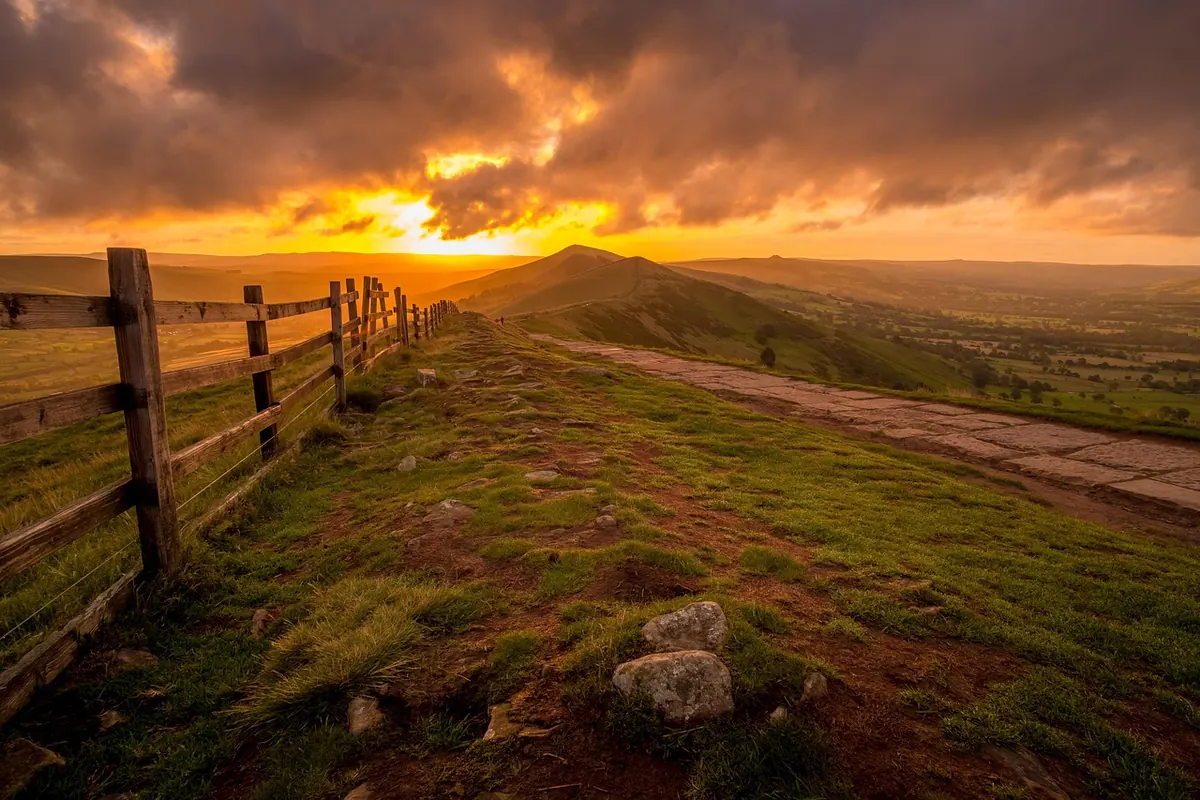
The moment a footpath stops being a footpath and becomes open hillside, the rules under your boots change. Nothing about the ground tells you so — same tussocks, same wall, same sheep — but your legal position is different. Knowing which set of rules applies turns a nagging worry into confidence. England and Wales opened up large areas of upland to public access at the turn of the century; Scotland works differently again. Here is how to tell what you are standing on, what you may do there, and what is still off limits.
Open access in England and Wales comes from the Countryside and Rights of Way Act 2000. It applies to what the Act calls open country — mountain, moor, heath and down — plus registered common land. Those areas were mapped, and the maps are held by Natural England and Natural Resources Wales. Before a trip to somewhere new, the open access map is the place to check.
Where access land applies, you may walk anywhere on it. Not just along a line of path: you can cross a slope to look at a crag, sit on a boulder for lunch, wander up an unnamed spur with no track on it at all. The right is on foot, for open-air recreation. That is generous, but not unlimited — it does not extend to camping, lighting fires, or swimming and boating on water within the land.
Two assumptions are worth killing early. The first is that a national park is access land from edge to edge. It isn't: national park designation is about landscape protection, not public access. The second is that woodland and farmland are open. Usually they are not. In the fells, the open ground above the intake wall is very often mapped access land; the green fields below it, the conifer plantation and the reservoir shore generally are not.
North of the border, the Land Reform (Scotland) Act 2003 gives a right of responsible access over most land and inland water, provided you follow the Scottish Outdoor Access Code. It is broader than in England and Wales — it covers cycling and horse riding as well as walking — but it still excludes places such as the grounds of houses, land with growing crops, and anything involving motor vehicles. Read local signage and follow the Code's guidance on dogs and livestock.
Rights of way are lines on a map; access land is an area. On a right of way you are entitled to travel along the route. In practice, a step or two either side to skirt deep mud or a fallen branch is unremarkable. What you may use the route for depends on its type.
Waymarks are guidance, not a guarantee. Plenty of fell paths carry no arrow at all, and where a route crosses open country the line on the ground can be faint or braided into three or four alternatives. If a waymark is missing, the map is your authority, not the paint.
Fell walls are usually crossed at a stile or a gate, and both come in flavours worth recognising. Ladder stiles give you steps and a hand rail — treat the top rail as support, not a lever, and watch for loose coping stones. Squeeze stiles are gaps in the wall, fine for a slim pack and awkward with a big one. Kissing gates swing both ways and save you the climb.
Gates matter more. The etiquette is short and non-negotiable: leave it as you found it. If it was shut, shut it behind you. If it was tied open, leave it open. Never climb a wall beside a gate simply because the latch is fiddly or the hinge is stiff — learn the latch, lift the gate onto your hip, and swing it properly.
If a stile has collapsed or a gate is chained shut, do not wrench at rotten wood. Use the nearest reasonable gap or gate, then report the problem. In most counties, public rights of way are the responsibility of the highway authority — the county or unitary council, or the national park authority in several of the upland parks. A grid reference and a photograph make the report genuinely useful.
Access land is not a free-for-all. The restrictions are few, but they are enforced by habit and goodwill as much as by law.
Dogs. On access land in England and Wales, keep your dog on a short fixed lead — around two metres or less — between 1 March and 31 July, when ground-nesting birds are on the fells. Near livestock, use a short lead at any time of year.
Closures. Land managers can close access land for up to 28 days a year, and longer exclusions apply in some places, military training ranges being the obvious example. Check for red flags and notices at range boundaries, keep to the permitted routes, and if you find anything that looks like debris, do not touch it: note the location and report it.
Things the right does not cover. No wild camping, no fires or stoves on the ground, no bicycles or horses on access land unless a right of way allows it, no drones, and no leading paid groups without permission. Quietness is not consent.
Some of the best walking on the fells is neither access land nor a right of way. It is permissive — the landowner simply allows it. Woodland, estate tracks, water company catchments and some grouse moors fall into this category, and shooting days can bring temporary restrictions. The difference matters because permission can be limited or taken away, and the surest way to lose it is to treat it carelessly. Stay on the offered route, keep dogs close, and take note of notices that say more than "private".
A few minutes of checking prevents most of the awkwardness described above.
Treat the fells as somewhere you are a guest, and access stays straightforward. If a specific route really matters to you — a blocked path, a disputed gate, a closure you think is wrong — speak to the highway authority or national park authority, and take proper legal advice before pressing the point.
Photo: TimHill / Pixabay