Trending

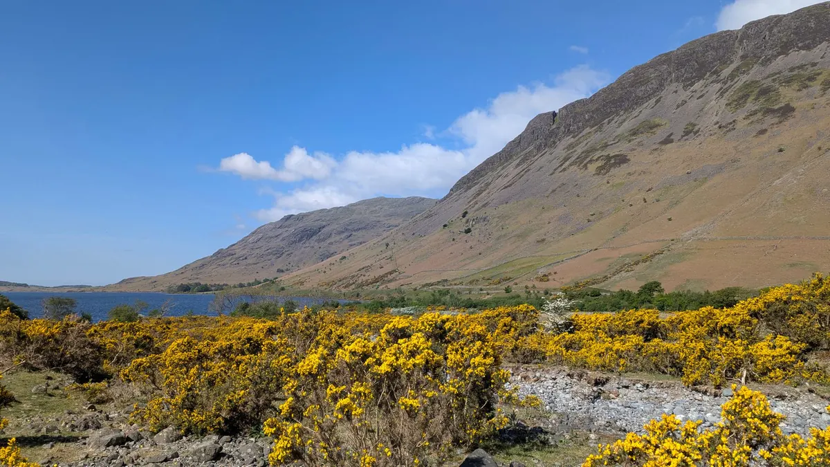
Keswick does not do settled weather. You can leave Rosthwaite at nine in the morning under blue sky and by one o'clock be eating a sandwich in cloud, wondering where Derwentwater went. The consolation is that Borrowdale is compact. All three walks below start within a few miles of one another, each takes half a day rather than a full one, and each has a fallback that still feels worth putting boots on for.
Stay in the valley — Rosthwaite, Grange or Keswick itself — and you can leave the car in one place for the whole trip. The Borrowdale bus runs south from Keswick along the valley floor, which turns a one-way walk into a linear route; check the current timetable first, because the service is seasonal and the last bus leaves earlier than you would expect.
Before you commit to a summit, look up. If the cloud is sitting on the high fells at breakfast and the wind is from the west or south-west, it is usually there for the day. If you can see gaps moving through and the cloud base sits above the tops, it will often lift by late morning. Seathwaite, at the head of the valley, has a reputation as the wettest inhabited place in England, so a grey forecast in Keswick generally means wetter still a few miles up the road.
Cat Bells is only 451 metres, but it earns its reputation. From Hawes End the path climbs through birch and then up a series of short, steep steps to the summit ridge, with Derwentwater below and the Newlands valley beyond. Allow two to three hours at a relaxed pace. The stone pitching makes the gradient manageable, but the path is narrow in places and popular, so start early or spend the morning stepping aside.
Approaching from Grange adds a flat, pleasant mile and makes a more satisfying circuit if you have the legs for it. Descend by the same route, or north to Skelgill and back along the road.
Drop to the lakeshore instead. The path along the western shore from Hawes End towards Brandelhow and Grange runs under trees and stays low, with pebble beaches and jetties when the rain eases. It is one of the few genuinely sheltered half-days here, and it ends at Grange, where the old bridge over the Derwent is worth the walk on its own.
Start from Keswick and climb through the Great Wood above the landing stages. Walla Crag, at 379 metres, gives the best value for effort in the northern lakes: an hour of steady climbing, then a rocky edge with the whole of Derwentwater below and Skiddaw behind you. Carry on south to Ashness Bridge — the postcard view, deservedly so — and on to Surprise View. From there, descend to Lodore and follow the shore road back to Keswick, or drop beside the waterfall and pick up the path through the woods. Two and a half to three hours, depending on how often you stop.
The Keswick to Threlkeld railway path. It is roughly five kilometres each way on a firm gravel surface, with two tunnels, and the old line gives you views over the Greta you would not otherwise see. It is almost better in drizzle, when the river is high and everyone else has gone home. Castlerigg stone circle is the other short option: twenty minutes from the road, and at its most atmospheric in low cloud.
The smallest of the three and, in some ways, the sharpest. Castle Crag rises just under 300 metres above Borrowdale, but it stands alone above the valley floor, and the summit — a tiny rocky platform with a war memorial on top — feels far more exposed than the height suggests. The climb from Rosthwaite crosses the river, winds through the woods and passes old slate workings, with spoil heaps and cut faces still visible. The Borrowdale volcanic rock is greasy when wet, so take the descent slowly. Two hours there and back, more if you linger to look up towards Glaramara and the jaws of the valley.
Stay on the valley floor. The riverside path from Rosthwaite to Grange, through the woods past the Bowder Stone, is flat, quick and sheltered, and the stone itself — a huge balanced boulder — justifies the detour in any weather. Further up the valley, Honister Slate Mine runs underground tours and has a café, which is the obvious answer on a truly filthy day. Check opening times and book ahead; it is not somewhere to arrive at four o'clock expecting a tour.
These are half-days, not expeditions, but fell-top weather is not valley weather. The kit list barely changes whatever you have planned:
The decision rule is simple: if the cloud base is below the height of your intended summit, take the valley option. There is no view to be had, navigation gets harder, and you will enjoy the low route far more than a summit
Photo: Steve Bremner / Pexels